Not all Lake Minnetonka shorelines live the same. If you are comparing Minnetrista with other bays, you have likely noticed real differences in depth, boat traffic, water clarity and even typical homes. Choosing the right bay can shape your lifestyle and long‑term value. In this guide, you will learn how the lake’s bays and shores differ, what to check before you buy, and how Minnetrista stacks up. Let’s dive in.
Lake overview and why bays matter
Lake Minnetonka is a large, multi‑basin lake with dozens of named bays that function like micro‑lakes. Crystal Bay holds the deepest point at about 113 feet, while many western bays are shallower and more sheltered. These depth and shape differences drive clarity, wave action, and boating styles, which is why you should evaluate property by bay, not just by the lake as a whole. You can see the lake’s depth patterns in the Minnesota DNR’s technical report on Minnetonka’s basins and bathymetry.
- See depth and basin details in the DNR’s survey report: Lake Minnetonka fisheries and bathymetry.
Governance is shared. The Lake Minnetonka Conservation District (LMCD) oversees on‑water rules, docks, and aquatic invasive species programs. The Minnehaha Creek Watershed District (MCWD) tackles water quality projects. The Minnesota DNR provides shoreland rules and fishery data. Plan to check each agency when you evaluate a property.
- For on‑water rules and dock guidance, visit the LMCD resources page.
Western bays near Minnetrista
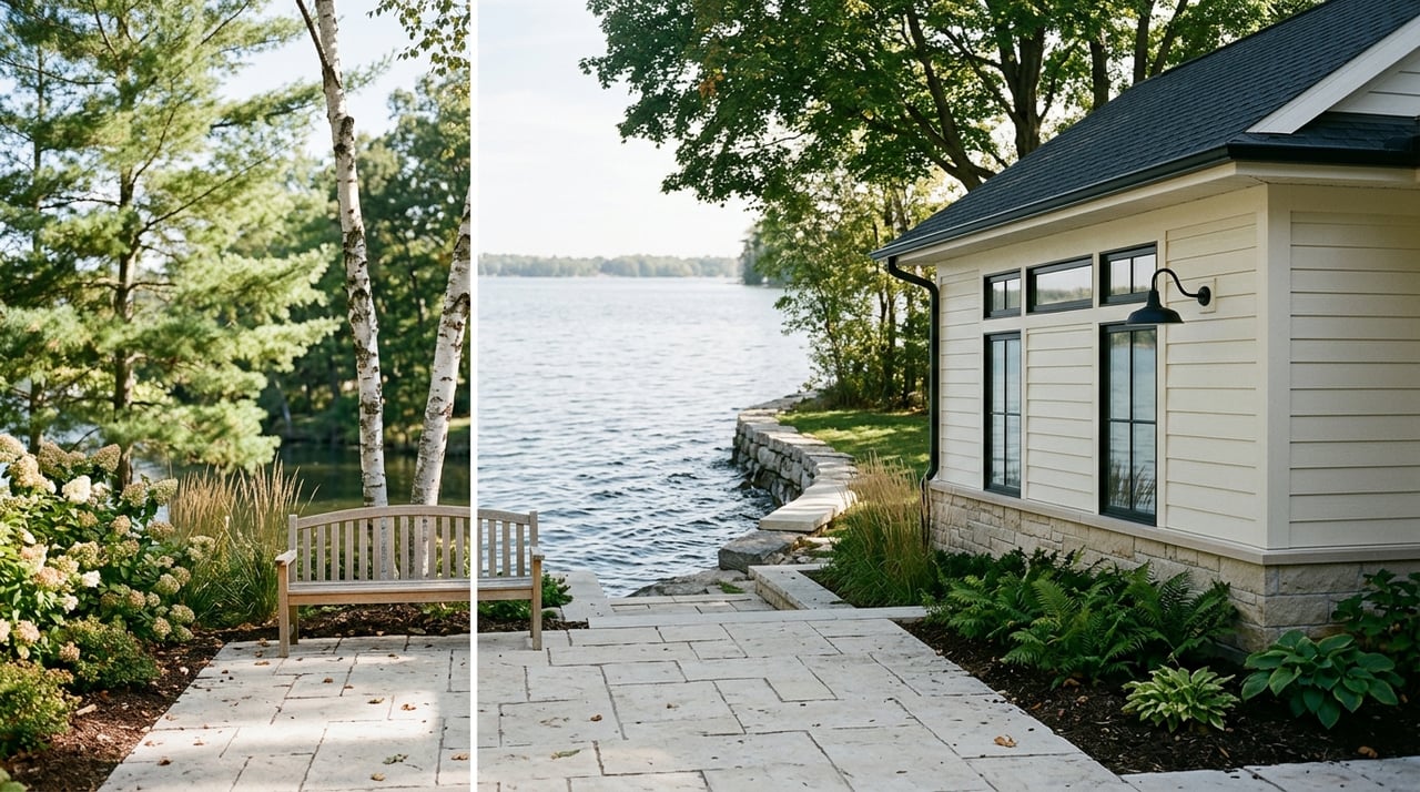
Minnetrista sits along the west side of Lake Minnetonka, including Halsted Bay and nearby upper‑lake basins. The shoreline feels more wooded in many spots, with pockets of wetland and long views across quieter water. Lots can offer more acreage and privacy compared with some east‑side villages. For a visual of marinas, public launches and quiet‑water zones, use the LMCD lake map.
Halsted Bay at a glance
- Water and depth. Halsted Bay is relatively shallow compared with lower‑lake basins. Historical monitoring points to more aquatic vegetation and seasonal algae risk in some areas, especially near inflows. Review the Halsted Bay monitoring summary for context.
- Recreation. The west end offers sheltered paddling and family boating in many pockets, with waterskiing in open stretches. Expect calmer conditions near shore and more weeds in mid‑summer in some coves. The LMCD lake map highlights public accesses and quiet‑water zones.
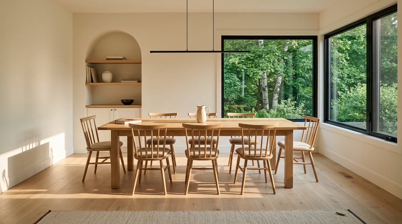
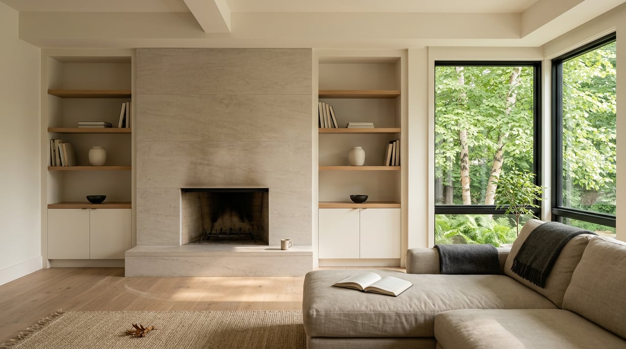
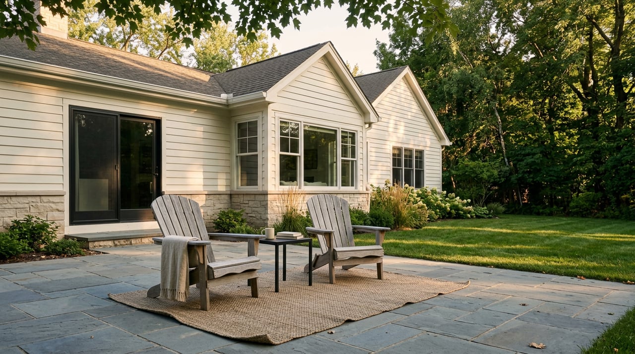
- Housing profile. You will find a mix of wooded lots, newer subdivisions off the lake, and lakefront homes that range from updated cabins to larger estates. Compared with the east side, entry points into the near‑lake lifestyle in Minnetrista and Mound are often more attainable for non‑lakefront homes, while true lakefront still commands premium pricing.
Water quality projects on the west
MCWD has invested in watershed work that targets nutrient reduction and habitat improvement in the upper‑lake system. Interventions can include carp management and alum treatments that improve clarity over time. To follow active initiatives, check the Minnehaha Creek Watershed District.
Central bays and village access
The central and west‑central bays, such as Cooks and Jennings near Mound and Spring Park, blend open water with coves and inlets. Public parks, marinas and beaches draw more weekend activity here. If you want both shoreline access and nearby restaurants and services, this area can be a good fit. The LMCD lake map shows marinas, public docks and popular areas.
- Water and shoreline. Depth and shoreline type vary bay to bay. You will see stretches of riprap, restored vegetation buffers and some sandy pockets near parks.
- Housing profile. Expect everything from refreshed midcentury cottages and infill builds to substantial remodels. Proximity to village amenities often lifts demand.
Lower east bays and deep water
The lower and east basins, including Crystal Bay, Wayzata Bay and Grays Bay, feature deeper channels and more open water. Crystal Bay holds the lake’s maximum depth at roughly 113 feet, which supports clearer conditions in many spots and deep‑water access favored by larger boats and sailors. Review the DNR’s technical report for depth and basin details: DNR survey of Lake Minnetonka.
- Boating and culture. Expect heavier traffic on summer weekends and a strong marina presence. Quiet pockets exist, but they are more limited than on the far west end.
- Housing profile. Many of the lake’s highest‑value communities are here, including Minnetonka Beach and parts of Orono and Wayzata. Third‑party roundups of expensive Minnesota towns often feature these east‑side communities, which reflects long‑standing demand for deep water and village convenience. See a representative list in this overview of Minnesota’s most expensive towns.
Rules, docks and shoreline work
Buying on Lake Minnetonka comes with a few extra boxes to check. LMCD regulates dock length and layout, moorings and many on‑water activities. Confirm that any existing dock is licensed and whether the license transfers with the property. Start with the LMCD resources page.
Minnesota shoreland rules define bluff impact zones, setbacks and what work is allowed near the water. Your city and Hennepin County implement these standards, and they may be more restrictive on steep or sensitive lots. Read the DNR guidance on bluff protection standards so you know what to expect before you plan a renovation.
Schools across the shores
School districts vary around the lake, and boundaries can change block by block. Much of Minnetrista is served by Westonka Public Schools. Always confirm attendance by address using the district’s official tools. Start with the Westonka School District boundaries page.
Some east and central shores fall within Minnetonka or Wayzata Public Schools, among others. If school placement is a priority, verify coverage with the districts directly. You can review the Minnetonka Public Schools district overview and then contact the district for address‑level confirmation.
Price patterns and value trade‑offs
Around Lake Minnetonka, buyers and appraisers often compare within the same bay first, because shoreline form, depth and boating access drive lifestyle and comps. East‑side basins with deep water and village amenities tend to sit near the top of the price spectrum. Central bays with strong marina and restaurant access also draw premium interest. Western shores, including Minnetrista and Mound, often provide more acreage and lower entry points for non‑lakefront homes, while lakefront remains a premium tier.
For orientation, Redfin reported Minnetrista’s citywide median sale price in the mid‑$400,000s in early 2026. Portal figures change often, so use them as a starting point and verify current comps in the MLS. You can view the latest city snapshot here: Minnetrista housing market overview.
Quick buyer checklist
Use this short list to evaluate any property around Minnetonka:
- Identify the bay or micro‑basin for the parcel using the LMCD lake map.
- Review depth and usable water in front of the lot in DNR bathymetry and channel maps. Start with the DNR survey report.
- Check bay‑level water quality and AIS program activity through LMCD and MCWD. Begin with the LMCD resources page and the Minnehaha Creek Watershed District.
- Confirm dock licensing and whether the license is transferable with LMCD. See LMCD resources.
- Understand shoreline and bluff setbacks before you plan improvements. Read the DNR’s bluff protection standards.
- Verify school assignment by address using the Westonka boundaries tool and the relevant district’s site if outside Westonka.
- Compare recent sales within the same bay first. For a citywide overview, see Redfin’s Minnetrista market page, then confirm live comps in the MLS.
Next steps
If you are weighing Minnetrista against other Lake Minnetonka bays, focus on the fit between your boating style, shoreline goals, commute and budget. Start with the bay map, confirm dock and permit details, and narrow your search to the micro‑basins that match how you want to live on the water. When you are ready for a local guide who knows the nuances by bay and street, reach out to Mark Geier for a focused consultation.
FAQs
What makes Minnetrista’s Halsted Bay different?
- Halsted Bay is shallower and more sheltered than many lower‑lake basins, which can mean more vegetation in summer and quieter, family‑friendly boating in many pockets, based on monitoring and LMCD maps.
How do on‑water rules affect docks on Lake Minnetonka?
- LMCD regulates dock dimensions and placement plus moorings and quiet‑water zones, so you should verify licensing and transferability before you buy using the LMCD resources.
Which school districts cover Lake Minnetonka addresses?
- Boundaries vary by parcel; much of Minnetrista is Westonka, while east and central shores can fall in Minnetonka or Wayzata, so always confirm with each district’s boundary tools.
Where can I see bay depths and navigation channels?
- The DNR’s survey report and the LMCD lake map show depth contours, channels, marinas and public accesses for planning and safety.
How do prices compare by bay on Lake Minnetonka?
- East‑side deep‑water bays and walkable villages often command the highest prices, central areas see strong demand, and western shores offer more attainable entry points off‑lake while lakefront remains premium.
What permits should I check before renovating a lake home?
- Review LMCD dock rules and the DNR’s shoreland and bluff standards, then confirm city and county requirements for grading, setbacks and shoreline stabilization on your specific lot.